Old Maps of Grange-over-Sands and the surrounding area
One of the best places to see old maps of Cumbria and the Lake District is to visit www.lakesguides.co.uk/html/lakemenu.htm - a fantastic resource of maps, photos and other interesting snippets. Quite a few of the maps below are from here.
Kuerden 1685
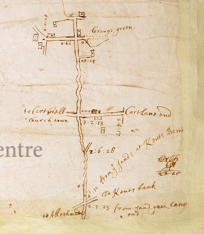
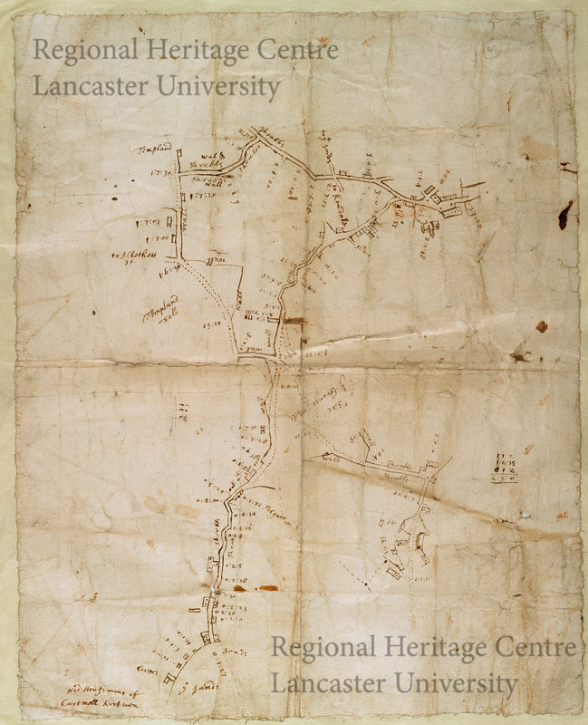
This seems to be the earliest maps of the Grange area, probably drawn by Richard Keurden as part of a survey of the Cartmel part of Lancashire regionalheritage.omeka.net/items/show/67
One map shows 'Grange Green', which is clearly the cross roads of Grange Fell Road / Pig Lane / Kents Bank Road / Main Street. The southern continuation to Kents Bank is reflected on the 1796 maps below. The second map shows Grange at the bottom right, although it is unclear quite what it is depicting southwards of that same crossroads.
One map shows 'Grange Green', which is clearly the cross roads of Grange Fell Road / Pig Lane / Kents Bank Road / Main Street. The southern continuation to Kents Bank is reflected on the 1796 maps below. The second map shows Grange at the bottom right, although it is unclear quite what it is depicting southwards of that same crossroads.
Thomas West 1784
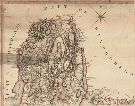
One of the first maps of Furness - note the orientation and the route across the Sands
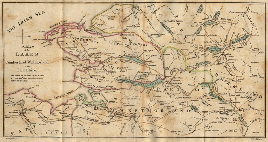
Thomas West Map of the Lakes 1784
Click Map for larger image
Yates 1786
|
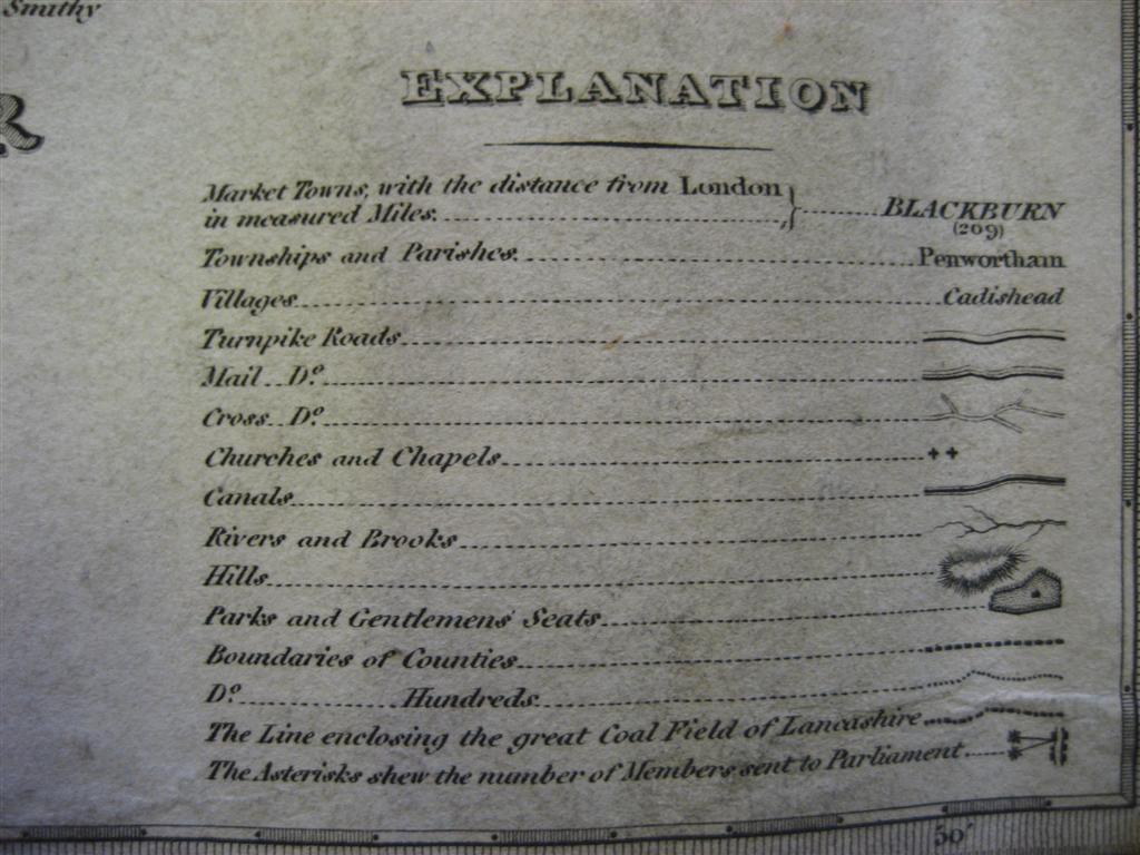
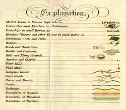
One of the first maps of the county. The key does not reproduce well, and this copy has come from Lancashire County Council's old maps site, which can be visited at www.lancashire.gov.uk/environment/oldmap/
Click on key or map to see larger image
|
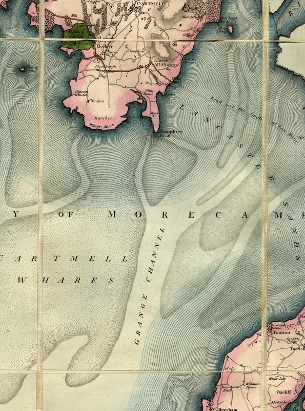
Grange c1796
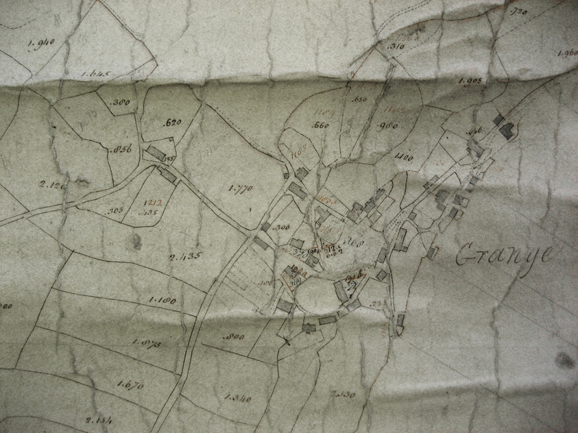
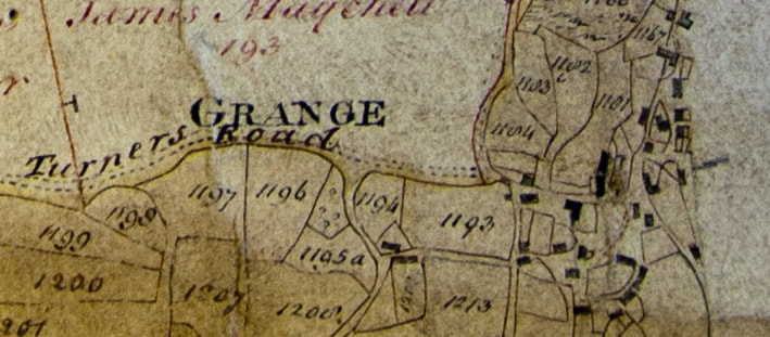
Two of the first detailed maps of Grange itself were drawn as part of the Enclosure Process for Hampsfield Fell and the Cartmel Fell Parish. The originals can be seen in Kendal Record Office. This section just shows the centre of Grange, the original is much larger and covers the whole of the modern parish. A larger area is shown on the third extract - which is useful for comparing with the 1685 maps.
Cartmel Enclosure Award 1800-1809
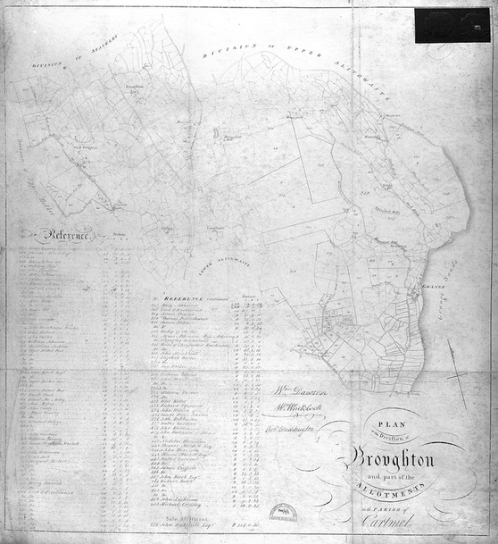
Broughton Township - Cartmel Enclosure Award.
The remaining unenclosed lands within the large Cartmel Parish were enclosed under an Act of Parliament in 1796. The document exists in the record offices in Preston and Kendal. The map here is the one for Broughton Township (see history page) and is the copy held at Preston. Click the map to see an enlarged version.
Paterson's Roads - 1826
The full title of Paterson's Books was
|
You can look at various copies on Google Books - Paterson's Roads Books
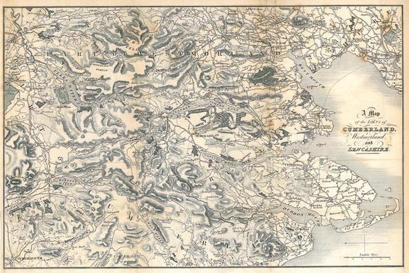 Paterson's Road Book 1826
|
Baines 1827
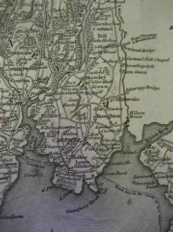
Greenwoods Maps of Lancashire 1818 - 1830
Christopher Greenwood was one of the most respected map makers of his time, and produced county maps for much of England. His early nineteenth century maps of the area are generally reckoned to be the best of their era for accuracy - both in what they showed and in their measurement and scaling.
|
|
|
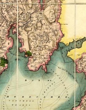
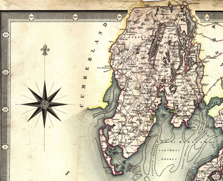
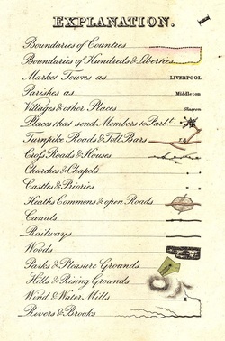
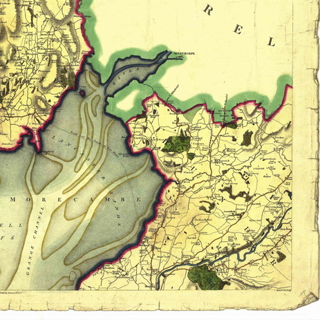
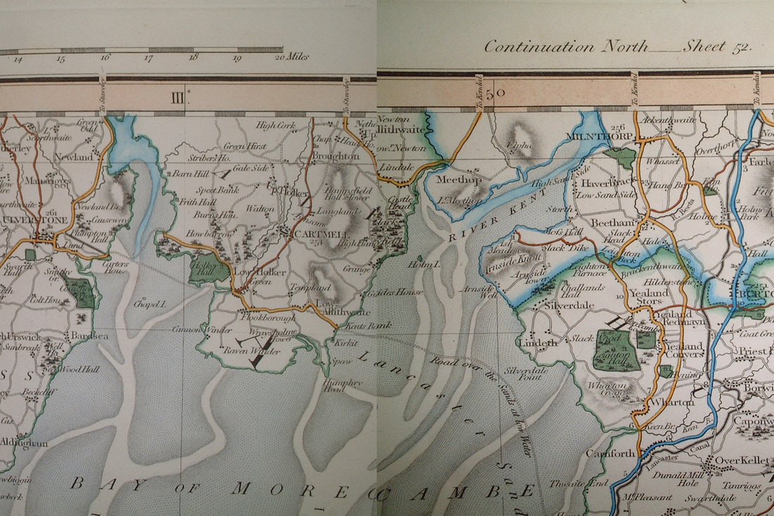
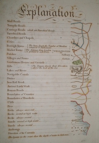
Cary 1830
Quite simply - John Cary was THE mapmaker of his time. He was appointed by the Postmaster General and also produced maps for the Ordnance Survey. The ones around 1830 are of very high quality and accuracy - and can be overlaid on modern maps with surprising ease.
Hudson 1841
This map was included in some of the editions of Wordsworth's Guide to the Lakes
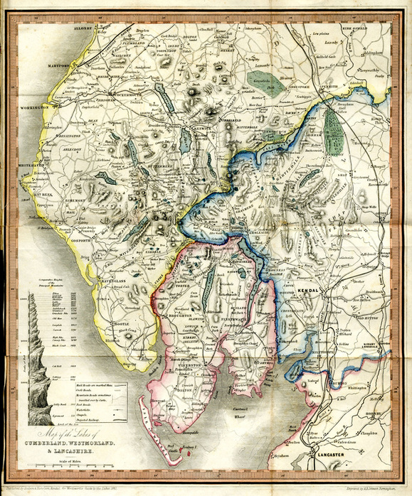
Hudson 1841 - map included in Wordsworth's Guides
Click map to enlarge
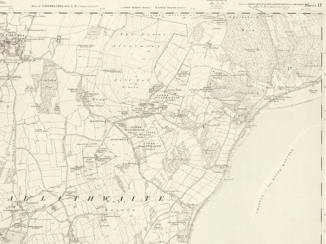
Ordnance Survey Maps - and others 1840 onwards
A really good resource is the Vision of Britain website - where you can scan in on some early Ordnance Survey maps by entering a Grange-over-Sands postcode.
Click here for the first edition
The main website is here.
Also - try out the National Library of Scotland Website - the quality is excellent, and most OS maps from 1840 to 1940 are there.
Click here for the first edition
The main website is here.
Also - try out the National Library of Scotland Website - the quality is excellent, and most OS maps from 1840 to 1940 are there.
Ordnance Survey - 6" to 1 mile 1840/53This is the earliest Ordnance Survey Map, scanned from a book. The next edition (1851 - below), produced very quickly afterwards showed the railway - even though it hadn't yet been built. The best place to look for copies of old OS maps is the county record offices in Barrow and Kendal. Excellent scanned copies of the 1843 edition 6" maps and the 25" maps of the later C19 can be bought on CDs from http://www.digitalarchives.co.uk/ |
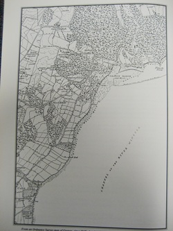 Ordnance Survey Map of Grange-over-Sands c1840
Click on map to see larger image
|
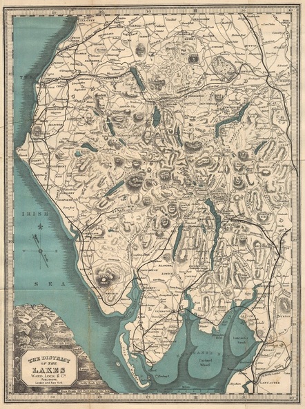
Ward Lock 1892Ward Lock published books for tourists for many areas. In the Lake District they published their own initially, and then took over Baddeley's Thorough Guides and merged them. They were known as the 'Red Guide'.
The 1892 book had a particularly good map. |
Click on map to enlarge
|
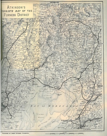
Atkinson 1904
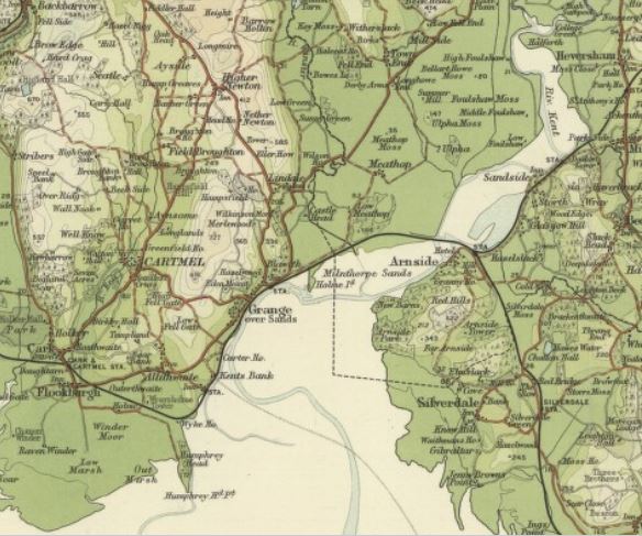
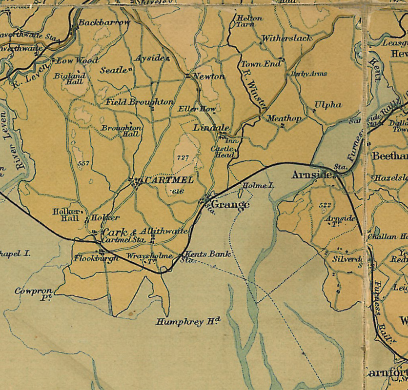
Bartholomews 1905
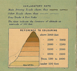
John Bartholomew produced maps countrywide, of high quality. Many were copies from OS maps. There were numerous repeat editions, all aimed at different markets. This one is from 1905.
John Bartholomew produced maps countrywide, of high quality. Many were copies from OS maps. There were numerous repeat editions, all aimed at different markets. This one is from 1905.
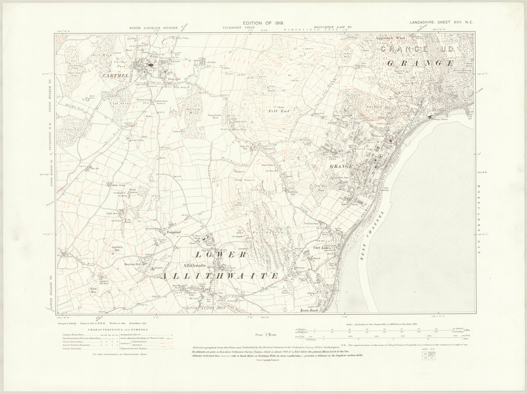
Ordnance Survey - 6" to 1 mile, 1919
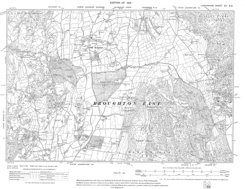
OS map of Grange 1919
Click images to enlarge
Ordnance Survey 25" to one mile - 1933
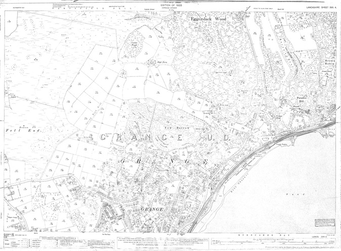
Ordnance Survey Map of Grange 1933
Click to enlarge
